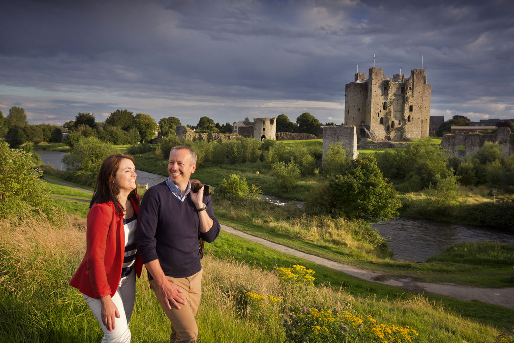
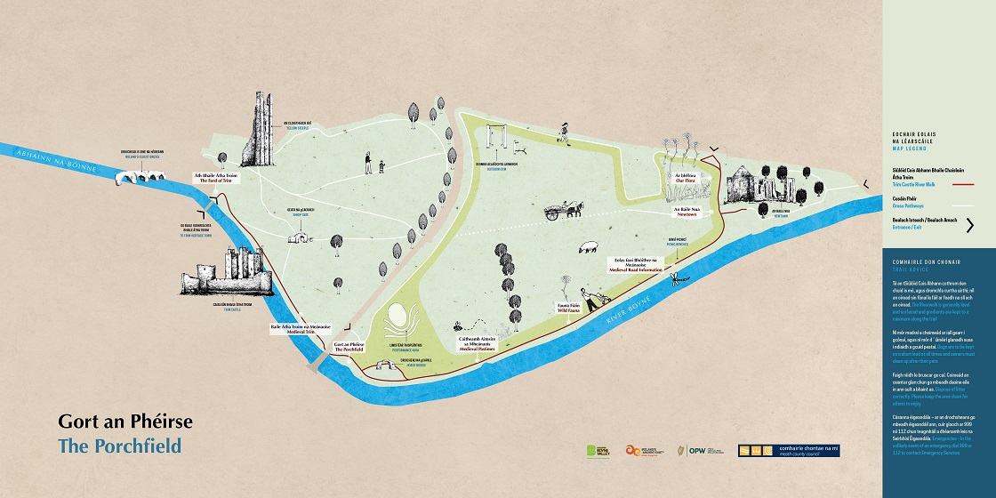
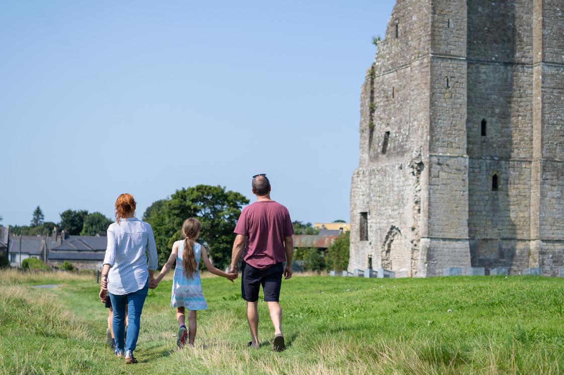
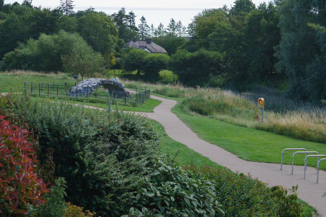
This unique place is a feast for the eyes as you take the Trim Castle River Walk along the banks of the majestic Boyne, through the medieval Porchfield and enjoy the views of the rich medieval heritage that is so abundant in Trim. From the imposing structure of Trim Castle to the serene setting of St Peter and Paul’s Cathedral at Newtown, you can try to get a sense of what the Porchfield (Trim Castle River Walk) may have looked like in the medieval period.
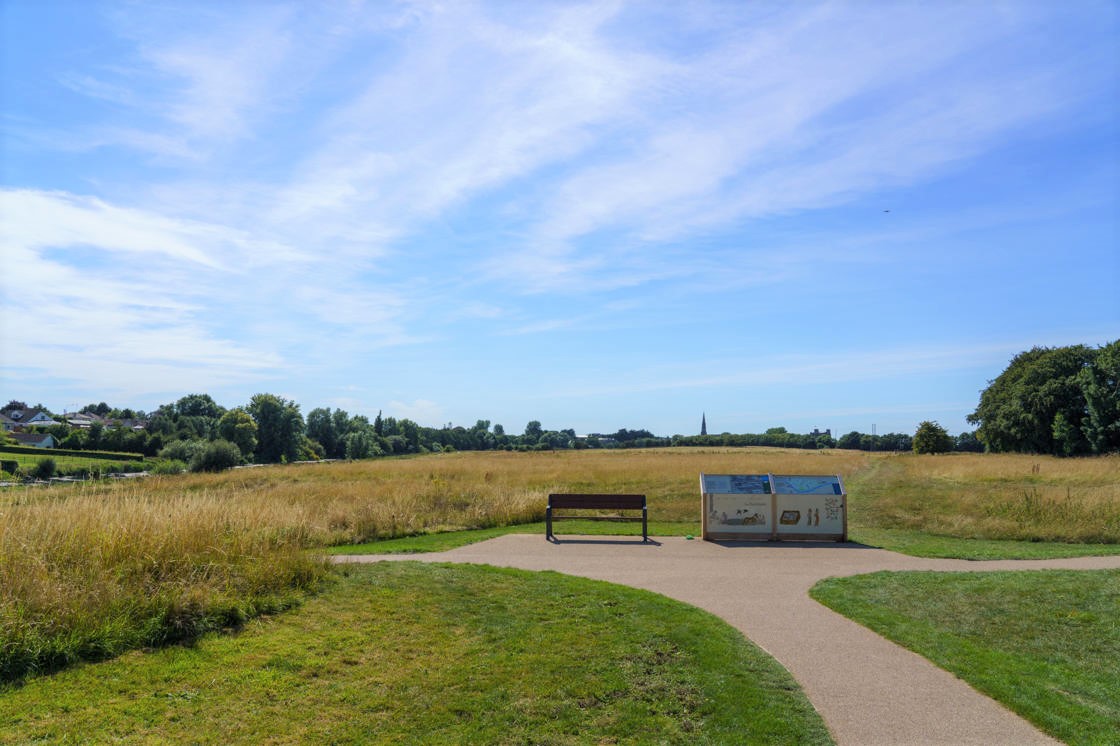
Interpretive Panels are located along the Castle River Walk and there are opportunities to take a seat and relax along the route. See what’s in bloom in the wildflower meadow, check out what’s happening at the performance area or visit the outdoor gym if you’re feeling energetic.
Check out the information panels in the Porchfield (Trim Castle River Walk) to discover more about the history of this place (don't forget to scan the QR code on the panels to access the exclusive Porchfield Digital Story Trail) and you will also find some useful information on holidaying in the locality.
The walk takes approximately 30 minutes along well marked pathways.
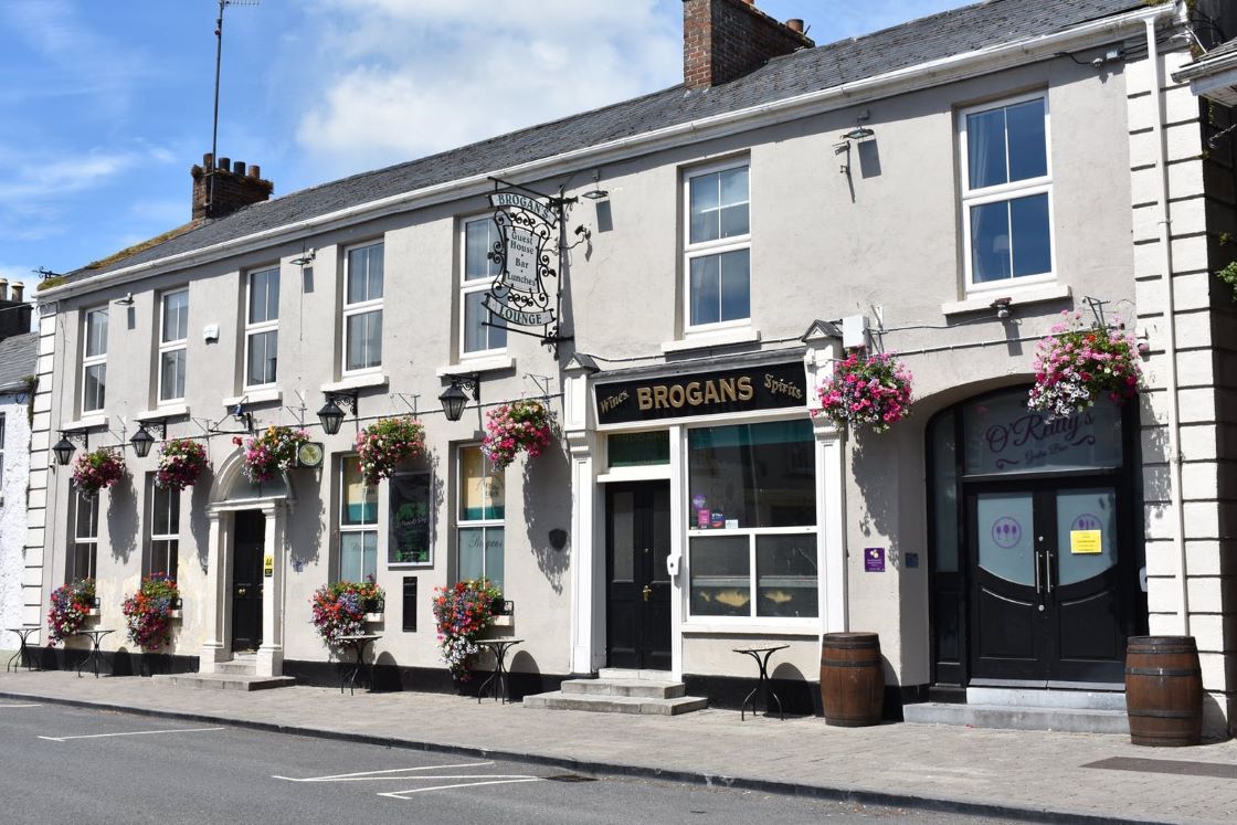
For more information, call into or contact Trim Visitor Centre, located in the town centre beside Trim Castle.
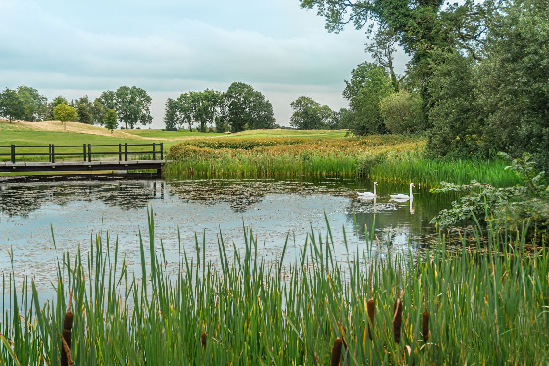
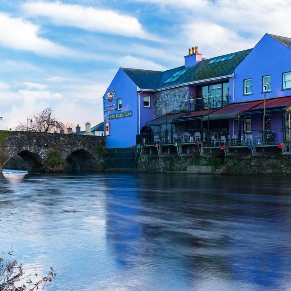
If you want to take to the water, have a look at the Boyne Blueway Trim, which runs from the town to Bective Mill.
The History of Trim and the Porchfield (Trim Castle River Walk)
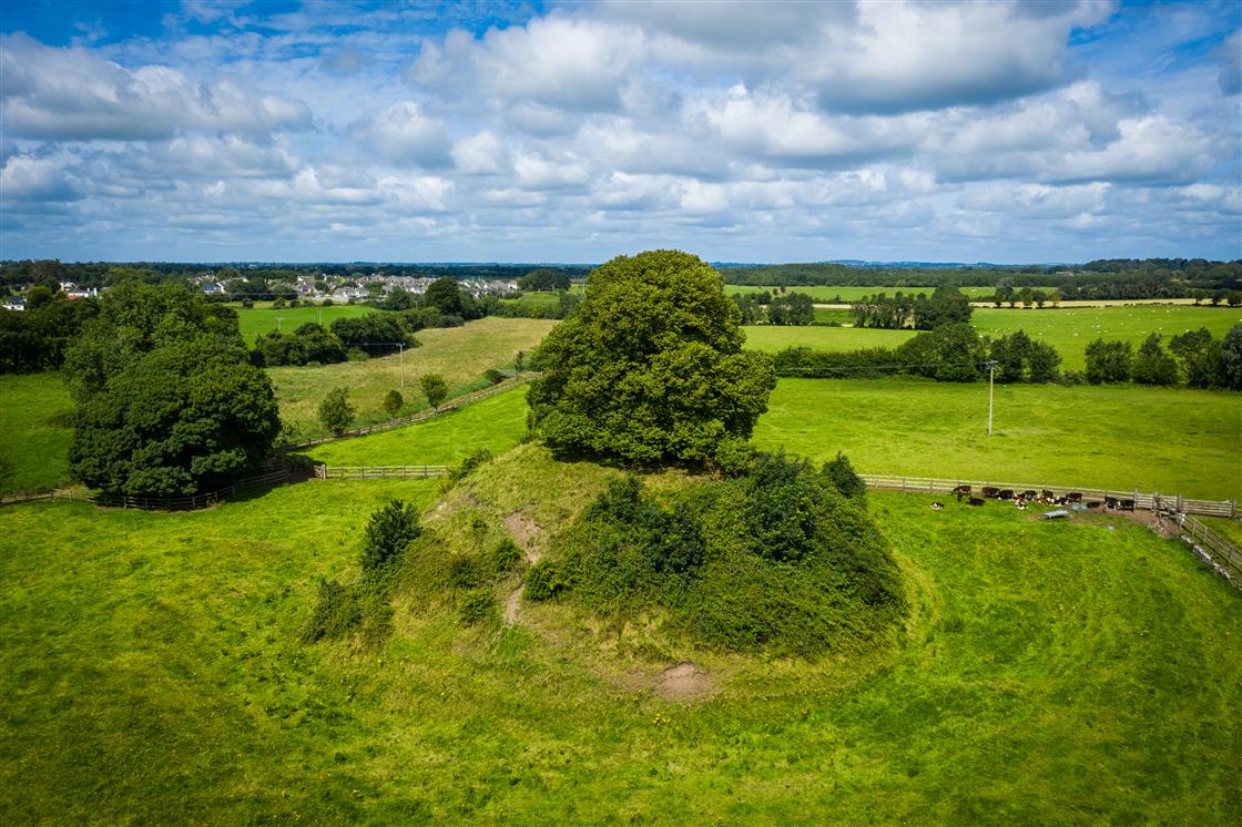
The foundation of the town of Trim dates back to the 5th Century AD but excavations of an area to the south of the Castle revealed that there may have been settlers in the region from as early as 370-BC. It is, however, the medieval history of Trim that has had the most significant impact on shaping the town that you are visiting today. As you walk through the Porchfield (Trim Castle River Walk) , you will see some fantastic examples of Trim’s medieval heritage in some of the structures that still remain in the area.
Along with the historical monuments that are visible at every turn, the River Boyne also plays a starring role in this landscape. The name Trim comes from the Irish Áth Truim meaning 'the ford of the elder trees'. A ford being a shallow place for crossing a river.
While the location of the river encouraged the first inhabitants of this area to settle here, it is now greatly valued as fantastic resource for outdoor recreation and is the location of one of the world’s first accredited Blueways, awarded in 2022.
To learn some more about the history and flora of the Porchfield (Trim Castle River Walk), take a look at this fantastic video. Presented by Finola O’Carroll and Cynthia Simonet, this beautiful and informative piece gives the viewer an insight into how the Porchfield may have looked in times gone by and also how people in medieval Trim may have lived.
Parking: Trim Town Centre has pay and display parking 9.00-18.00 Monday to Saturday with an hourly rate of €1.00.
Special offer: all-day parking for €3.00 available in Emmet Street Car Park, Trim, 3 minutes walk from Trim Castle Entrance. See Map to Emmet Street Car Park.