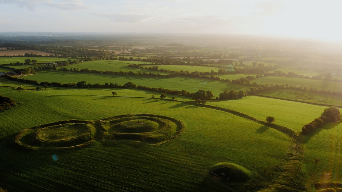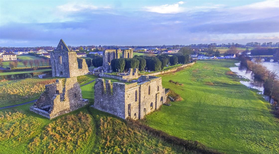
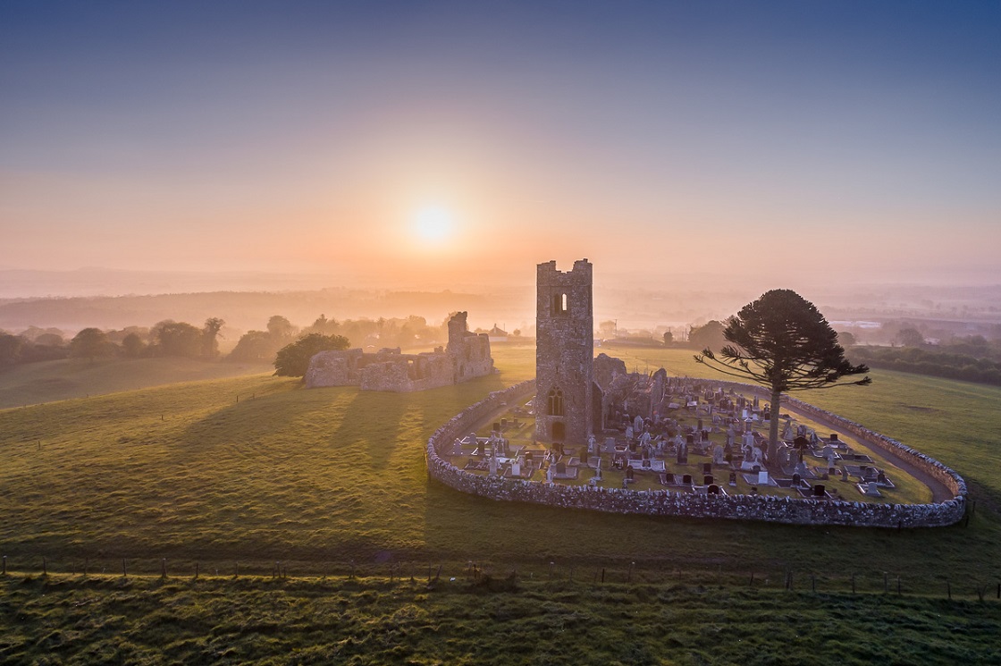
Hill of Slane
The Hill of Slane rise 158m above the surrounding countryside and can be seen from the Hill of Tara, 16km away.
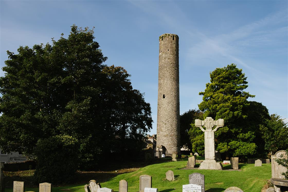
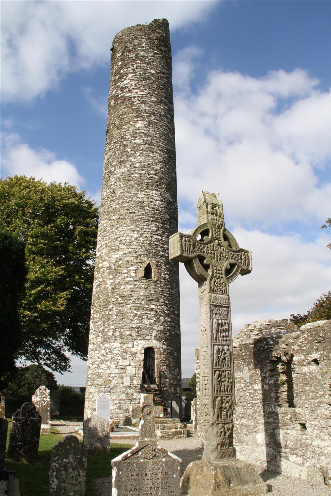
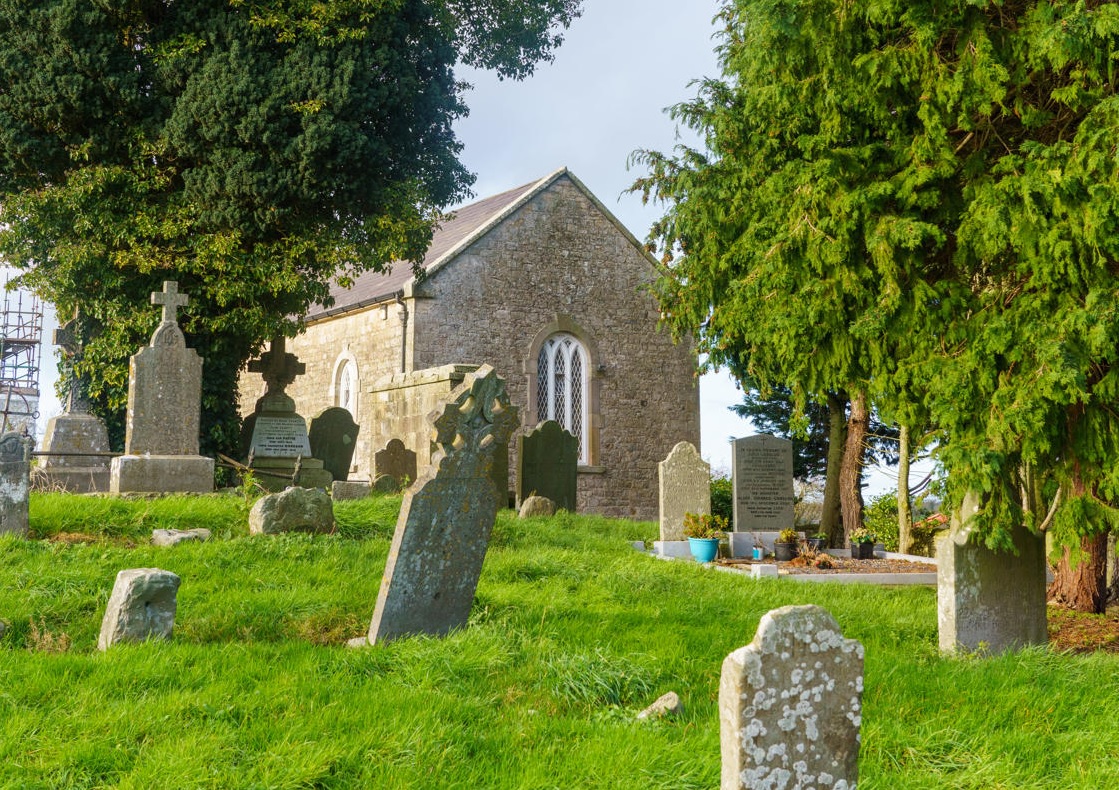
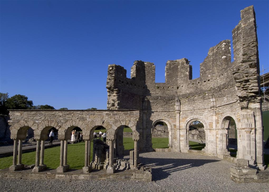
A well-preserved tower is to be found among the ruins of a Franciscan Monastery, dating from 1512, itself built on site of a monastery founded by St. Erc, a follower of St. Patrick.
Slane, County Meath
View location on Google Maps here
From Dublin head north on the N2 to Slane. Drive straight through Slane and about 600 metres after the crossroads take the first left sign-posted Hill of Slane. Drive up here to the car-park. Walk straight across the field. The mound is situated in the trees behind the monastic site.
From Navan head east on Kells Road toward Flower Hill, Turn left onto Flower Hill, at the Roundabout take 3rd exit onto Slane Road/N51, continue to follow N51, at Slane Village turn left at the traffic lights about 600 metres after the crossroads take the first left sign-posted Hill of Slane. Drive up here to the car-park. Walk straight across the field. The mound is situated in the trees behind the monastic site.
From Drogheda Head west on Patrick Street toward George's Street, Turn right onto George's Street, Continue onto North Road, Continue onto R132, At the roundabout, take the 1st exit onto N51, Go through 2 roundabouts, approaching Slane village take the right at the traffic lights, about 600 metres after the crossroads take the first left sign-posted Hill of Slane. Drive up here to the car-park. Walk straight across the field. The mound is situated in the trees behind the monastic site.
24/7
Free